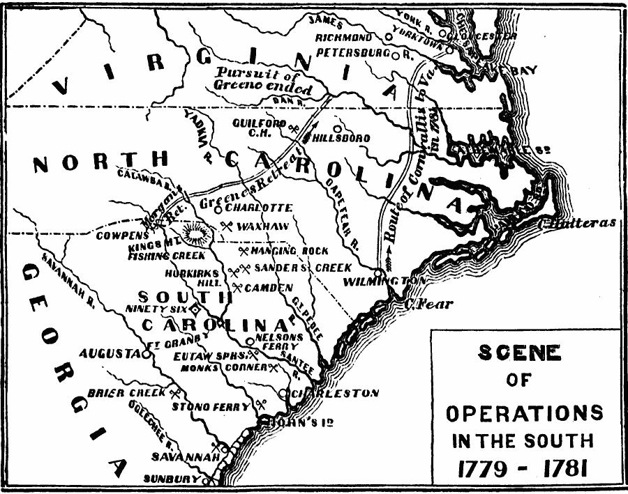
Description: Map showing Scene of Operations in the South from 1779-1781.
Place Names: Early America 1400-1800, Georgia,
North Carolina,
South Carolina,
Virginia,
American Revolutio
ISO Topic Categories: oceans,
location,
inlandWaters
Keywords: Scene of Operations in the South, American Revolution,
physical,
historical,
military,
war,
country borders, historical event,
American Revolution, oceans,
location,
inlandWaters, Unknown, 1779-1781
Source: David B. Scott, A School History of the United States, from the discovery of America to the year 1880. (New York, NY: American Book Company, 1884) 196
Map Credit: The Private Collection of Roy Winkelman |
|