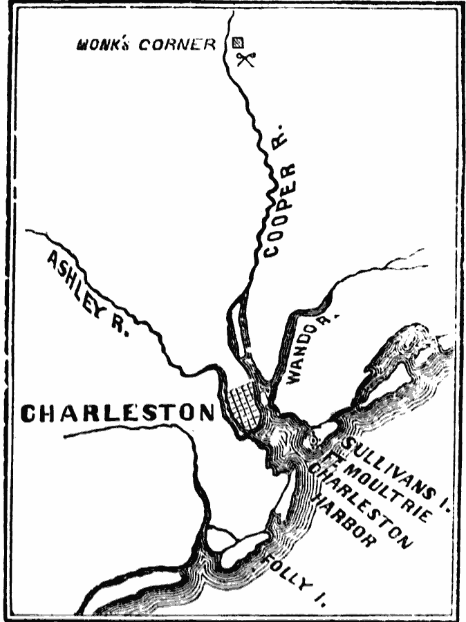
Description: A map of Charleston Harbor, North Carolina, during the Siege of Charleston (1780). The map shows Charleston, Sullivan's Island and Fort Moultrie, the rivers in the area, and the site of the Battle of Monk's Corner, 30 miles north of Charleston.
Place Names: Early America 1400-1800, Charleston, �Ft. Moultrie, �Monk's Corner, �Virginia, �American Revolutio
ISO Topic Categories: oceans,
location,
inlandWaters
Keywords: Charleston and vicinity , American Revolution, �physical, �historical, �military, kAmericanRevolution, country borders, historical event,
American Revolution, oceans,
location,
inlandWaters, Unknown, 1780
Source: David B. Scott, A School History of the United States, from the discovery of America to the year 1880. (New York, NY: American Book Company, 1884) 202
Map Credit: Courtesy the private collection of Roy Winkelman |
|