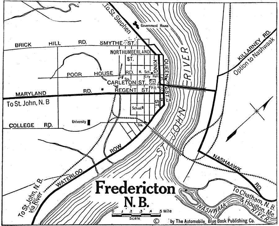
Description: A map of Fredericton, New Brunswick, from Official Automobile Blue Book of 1919. The map shows the St. John River, the Nashwaak River, the major roads, bridges, railroads and stations, schools, cemeteries, and government buildings.
Place Names: Canada, Fredericto
ISO Topic Categories: transportation,
inlandWaters,
location
Keywords: Fredericton, New Brunswick, physical, �political, �transportation, kAutomobile, physical features, local jurisdictions, roads,
railroads, transportation,
inlandWaters,
location, Unknown, 1919
Source: The Automobile Blue Book Company, Official Automobile Blue Book 1919 Vol 2 (New York, NY: The Automobile Blue Book Publishing Co., 1919) 982
Map Credit: Courtesy the private collection of Roy Winkelman |
|