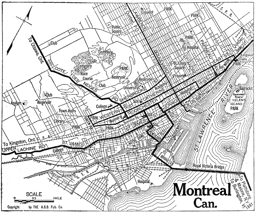
Description: A road map of Montreal from the Official Automobile Blue Book of 1919. The map shows the St. Lawrence River, the Royal Victoria Bridge, major roads, railroads and stations, schools, cemeteries, parks, and government buildings.
Place Names: Canada, Montrea
ISO Topic Categories: location,
inlandWaters,
transportation
Keywords: Montreal, transportation, �physical, �political, physical features, local jurisdictions, roads,
railroads,
water routes, location,
inlandWaters,
transportation, Unknown, 1919
Source: The Automobile Blue Book Company, Official Automobile Blue Book 1919 Vol 2 (New York, NY: The Automobile Blue Book Publishing Co., 1919) 1004
Map Credit: Courtesy the private collection of Roy Winkelman |
|