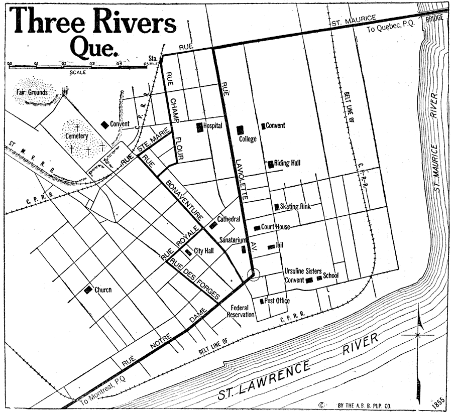
Description: A road map of Three Rivers, Quebec, from Official Automobile Blue Book of 1919. The map shows the St. Lawrence and St. Maurice Rivers, primary roads, railways and railway station, churches and cathedral, hospital, schools, and government buildings.
Place Names: Canada, Three Rivers, �Trois-Riviere
ISO Topic Categories: location,
inlandWaters,
transportation
Keywords: Three Rivers, physical, �political, �transportation, kAutomobile, physical features, local jurisdictions, roads,
railroads, location,
inlandWaters,
transportation, Unknown, 1919
Source: The Automobile Blue Book Company, Official Automobile Blue Book 1919 Vol 2 (New York, NY: The Automobile Blue Book Publishing Co., 1919) 1005
Map Credit: Courtesy the private collection of Roy Winkelman |
|