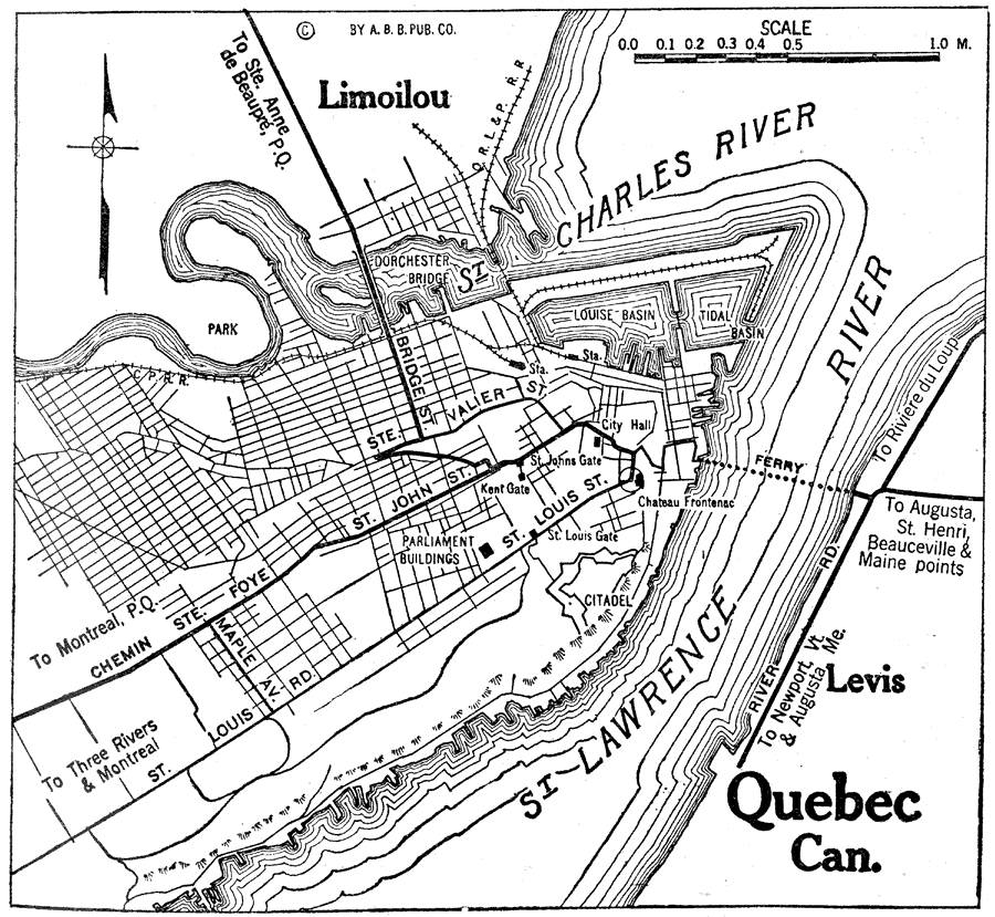
Description: A road map of the City of Quebec from the Official Automobile Blue Book of 1919. The map shows the St. Lawrence River and ferry crossing toward Augusta, the St. Charles River and bridge to Limoilou, major streets, railways and stations, Chateau Fontenac, parks, and government buildings.
Place Names: Canada, Quebe
ISO Topic Categories: transportation,
inlandWaters,
location
Keywords: City of Quebec, physical, �political, �transportation, kAutomobile, physical features, local jurisdictions, roads,
railroads,
water routes, transportation,
inlandWaters,
location, Unknown, 1919
Source: The Automobile Blue Book Company, Official Automobile Blue Book 1919 Vol 2 (New York, NY: The Automobile Blue Book Publishing Co., 1919) 1021
Map Credit: Courtesy the private collection of Roy Winkelman |
|