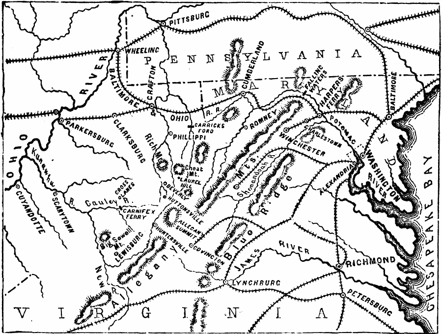
Description: A map showing the region of the campaign in western Virginia during the opening year of the American Civil War in 1861. The map shows the area from the Chesapeake Bay to the Ohio River, and from Pittsburg, Pennsylvania south the Lynchburg and Petersburg, including the District of Columbia and Washington, Richmond, Winchester, Baltimore, Wheeling, and Harpers Ferry, railroads, terrain features of the Allegheny Mountains and Blue Ridge, and rivers in the area.
Place Names: Civil War, Alexandria, �Charlestown, �Covington, �Lynchburg, �Richmon
ISO Topic Categories: oceans,
location,
inlandWaters
Keywords: Campaign in Western Virginia, physical, �historical, �military, �war, �country borders, historical event, oceans,
location,
inlandWaters, Unknown, 1861
Source: David B. Scott, A School History of the United States, from the discovery of America to the year 1880. (New York, NY: American Book Company, 1884) 325
Map Credit: Courtesy the private collection of Roy Winkelman |
|