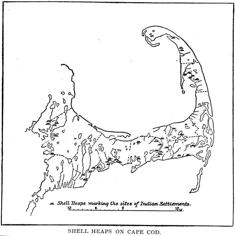
Description: A sketch map of Cape Cod showing the sites of shell mounds along the coast line indicating the sites of early Native American settlements.
Place Names: Massachusetts,
ISO Topic Categories: location,
inlandWaters
Keywords: Shell Heaps on Cape Cod, physical, kNativeAmerican, physical features, county borders, location,
inlandWaters, Unknown, Pre–European
Source: Justin Winsor, Narrative and Critical History of America Vol 1 (New York, NY: Houghton, Mifflin, and Company, 1889) 393
Map Credit: Courtesy the private collection of Roy Winkelman |
|