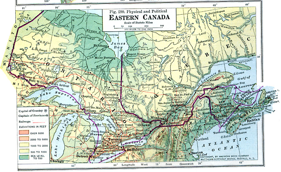
Description: A map from 1916 of the eastern part of Canada showing Ontario, New Brunswick, Prince Edward Island, Nova Scotia, and the southern portion of Quebec. The map shows the capital of Ottawa, provincial capitals, major cities, towns, and ports, railways, terrain, lakes, rivers, and coastal features. The map uses color–contouring to show elevations from sea level to above 5000 feet.
Place Names: Canada, Quebec, �Toronto, �Ottawa, �Montrea
ISO Topic Categories: boundaries,
transportation,
location,
oceans,
inlandWaters
Keywords: Eastern Canada, physical, �political, �transportation, physical features, country borders,
major political subdivisions, railroads, boundaries,
transportation,
location,
oceans,
inlandWaters, Unknown, 1916
Source: Albert Perry Brigham & Charles T. McFarlane, Essentials of Geography (New York, NY: American Book Company, 1916) 200
Map Credit: Courtesy the private collection of Roy Winkelman |
|