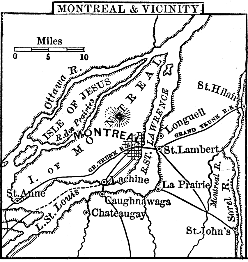
Description: A map from 1888 of Montreal and vicinity showing the city, the Island of Montreal, St. Lawrence River, Isle of Jesus, Ottawa River, Rivière des Prairies, Sorel River, and Lake St. Louis, and the neighboring cities and towns of Longueil, St. Hilair, St. Lambert, La Prairie, St. John's, Lachine, Caughnawaga, Chateaugay, and St. Anne. The map shows railways, including the Grand Trunk Railroad.
Place Names: Canada, Montreal, �Isle of Jesus, �Longueil, �St. Lambert, �Lachine, �St. Anne, �Gaughnawaga, �Chateaugay, �La Prairie, �St. John's, �St. Hilair
ISO Topic Categories: inlandWaters,
location,
oceans,
transportation
Keywords: Montreal, physical, �political, �transportation, physical features, railroads, inlandWaters,
location,
oceans,
transportation, Unknown, 1888
Source: , Cornell's Intermediate Geography (New York, NY: American Book Company, 1888) 19
Map Credit: Courtesy the private collection of Roy Winkelman |
|