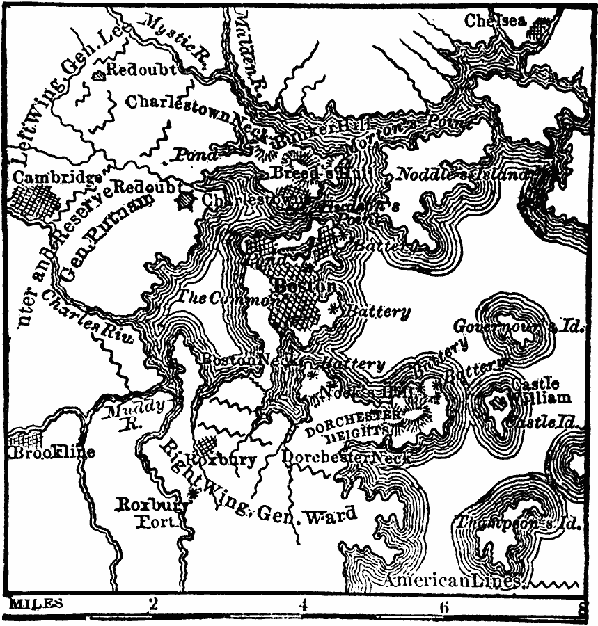
Description: A plan of the siege of Boston showing the American fortifications and positions around the harbor, and the British batteries and positions.
Place Names: Massachusetts, Bosto
ISO Topic Categories: transportation,
location,
oceans,
inlandWaters
Keywords: Siege of Boston, physical, �political, �transportation, �historical, kAmericanRevolution, physical features, local jurisdictions, roads, American Revolution, transportation,
location,
oceans,
inlandWaters, Unknown, 1775
Source: W. H. De Puy, People's Cyclopedia of Universal Knowledge Vol 1 (New York, NY: Phillips & Hunt, 1881) 297
Map Credit: Courtesy the private collection of Roy Winkelman |
|