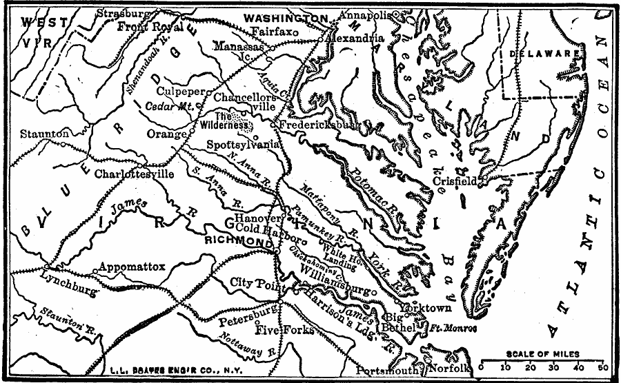
Description: A map of the Washington–Richmond region showing the railroads and navigable coastline, illustrating the difficulties of moving large armies through the area at the time of the opening years of the American Civil War. The map shows major cities and towns, rivers, the Blue Ridge mountain System, Chesapeake Bay, and peninsular coastline.
Place Names: Civil War, Delaware, �Washington, �Virginia, �Washington D.C., �Richmon
ISO Topic Categories: boundaries,
transportation,
location,
inlandWaters,
oceans
Keywords: Movement of Armies, physical, �transportation, �political, �historical, physical features, major political subdivisions, railroads, Civil War, boundaries,
transportation,
location,
inlandWaters,
oceans, Unknown, 1861
Source: Robert Hall, Harriet Smither, and Clarence Ousley, A History of the United States (Dallas, TX: The Southern Publishing Company, 1920) 339
Map Credit: Courtesy the private collection of Roy Winkelman |
|