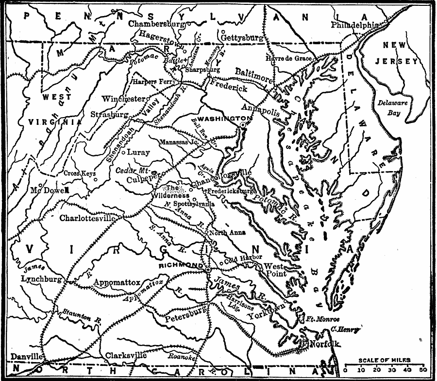
Description: A map of the area from Philadelphia to Danville on the North Carolina State Line, showing the area of operations in 1863 during the American Civil War. The map shows major cities and towns, railroads, mountains, and rivers in the area, and includes several significant battle sites of the year.
Place Names: Civil War, Richmond, �Annapolis, �West Point, �Philadelphia, �West Virginia, �Washington D.C., �Gettysburg, �Pennsylvania, �West Virginia, �New Jersey, �Virgini
ISO Topic Categories: boundaries,
location,
inlandWaters,
oceans,
transportation
Keywords: Positions of Armies, physical, �transportation, �political, �historical, physical features, major political subdivisions, railroads, Civil War, boundaries,
location,
inlandWaters,
oceans,
transportation, Unknown, 1863
Source: Robert Hall, Harriet Smither, and Clarence Ousley, A History of the United States (Dallas, TX: The Southern Publishing Company, 1920) 361
Map Credit: Courtesy the private collection of Roy Winkelman |
|