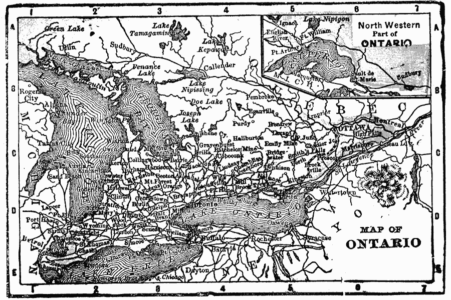
Description: A map from 1902 of Ontario showing major cities and towns, railways, rivers, lakes, and the frontier with Quebec. An inset map shows the northwestern portion of the province along Lake Superior.
Place Names: Canada, Canada, �Ontario, �Toront
ISO Topic Categories: oceans,
location,
inlandWaters
Keywords: Ontario, borders, �political, country borders, oceans,
location,
inlandWaters, Unknown, 1902
Source: , The New Conklin's Handy Manual of Useful Information and Atlas of the World (Chicago, IL: The Christian Herald, 1902) 343
Map Credit: Courtesy the private collection of Roy Winkelman |
|