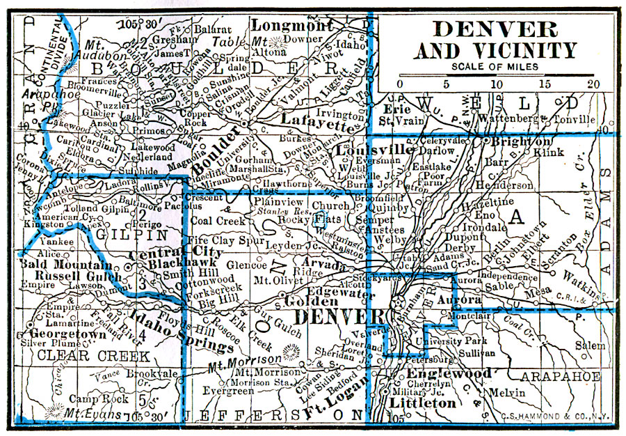
Description: A map from 1922 of the Denver area showing county boundaries, railroads, and neighboring cities and towns.
Place Names: Colorado, Denve
ISO Topic Categories: boundaries,
location,
inlandWaters
Keywords: Denver and Vicinity, physical, �political, physical features, county borders, boundaries,
location,
inlandWaters, Unknown, 1922
Source: , Putnam's Handy Map Book (New York, NY: G. P. Putnam's Sons, 1922) 182
Map Credit: Courtesy the private collection of Roy Winkelman |
|