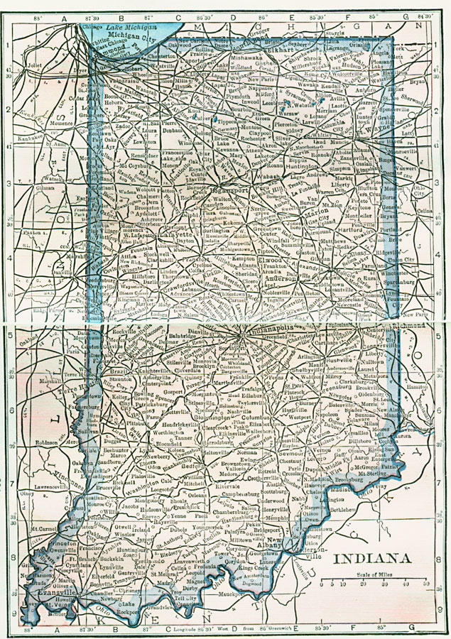
Description: A map from 1922 of Indiana showing the State capital at Indianapolis, major cities and towns, railroads, and rivers.
Place Names: Indiana, Indianapolis, �South Bend, �Terre Haute, �Evansville, �New Albany, �Columbus, �La Fayette, �Fort Wayn
ISO Topic Categories: boundaries,
inlandWaters,
location
Keywords: Indiana, physical, physical features, boundaries,
inlandWaters,
location, Unknown, 1922
Source: , Putnam's Handy Map Book (New York, NY: G. P. Putnam's Sons, 1922) 200-201
Map Credit: Courtesy the private collection of Roy Winkelman |
|