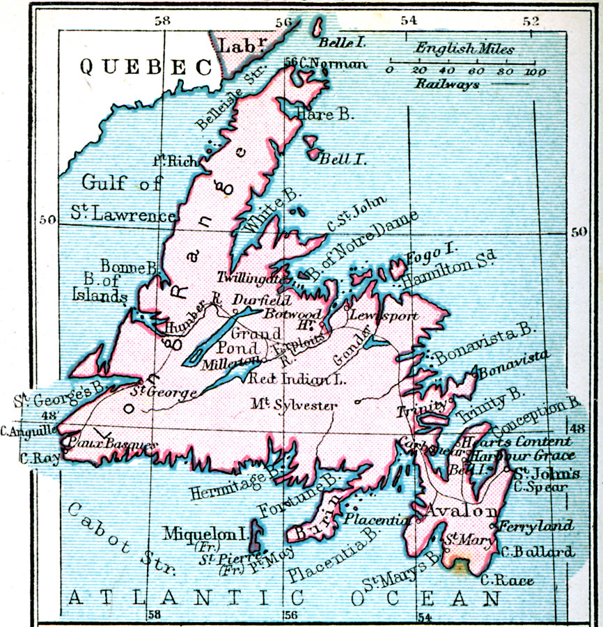
Description: A map from 1920 of Newfoundland showing the cities and towns, railway, lakes, and coastal features of the island. The map also shows the French islands of Miquelon and Saint Pierre, and the Belleisle and Cabot straits in the Gulf of St. Lawrence.
Place Names: Canada, Avalon, �St. John's, �Fogo Island, �Lewispor
ISO Topic Categories: inlandWaters,
location,
oceans
Keywords: Newfoundland, physical, �transportation, physical features, railroads, inlandWaters,
location,
oceans, Unknown, 1920
Source: , Asprey's Atlas of the World (London, England: Asprey and Co., Ltd., 1920) 123
Map Credit: Courtesy the private collection of Roy Winkelman |
|