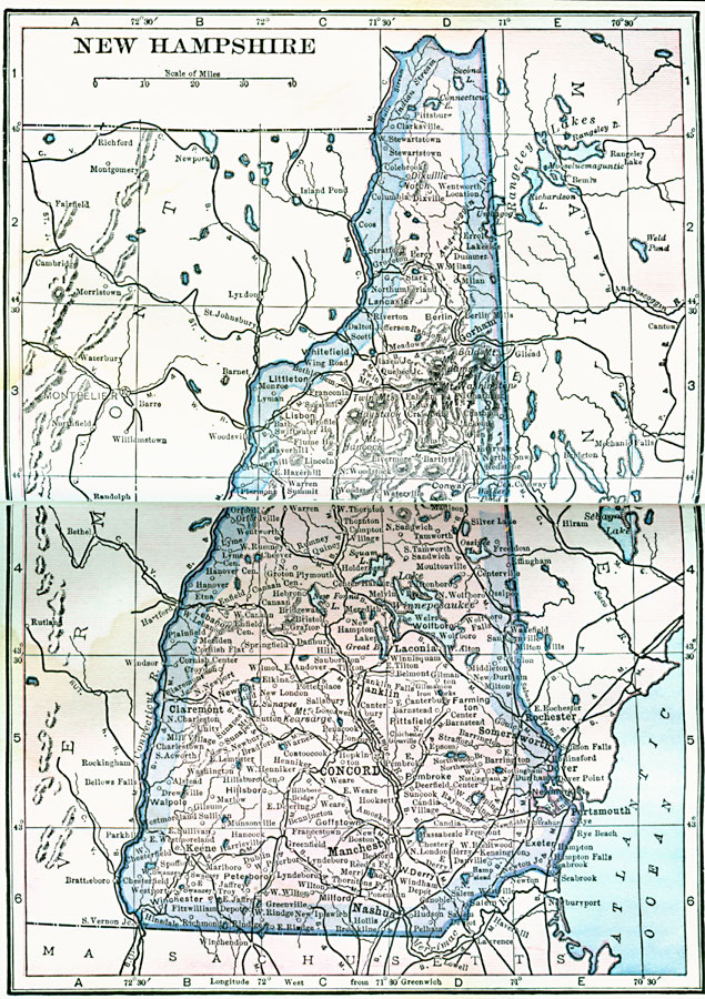
Description: A map from 1922 of New Hampshire showing the capital of Concord, principal cities and towns, railroads, mountains, lakes, and rivers.
Place Names: New Hampshire, Concord, �Manchester, �Portsmouth, �Rochester, �Dover, �Lancaste
ISO Topic Categories: boundaries,
location,
inlandWaters,
oceans
Keywords: New Hampshire, physical, physical features, boundaries,
location,
inlandWaters,
oceans, Unknown, 1922
Source: , Putnam's Handy Map Book (New York, NY: G. P. Putnam's Sons, 1922) 248-249
Map Credit: Courtesy the private collection of Roy Winkelman |
|