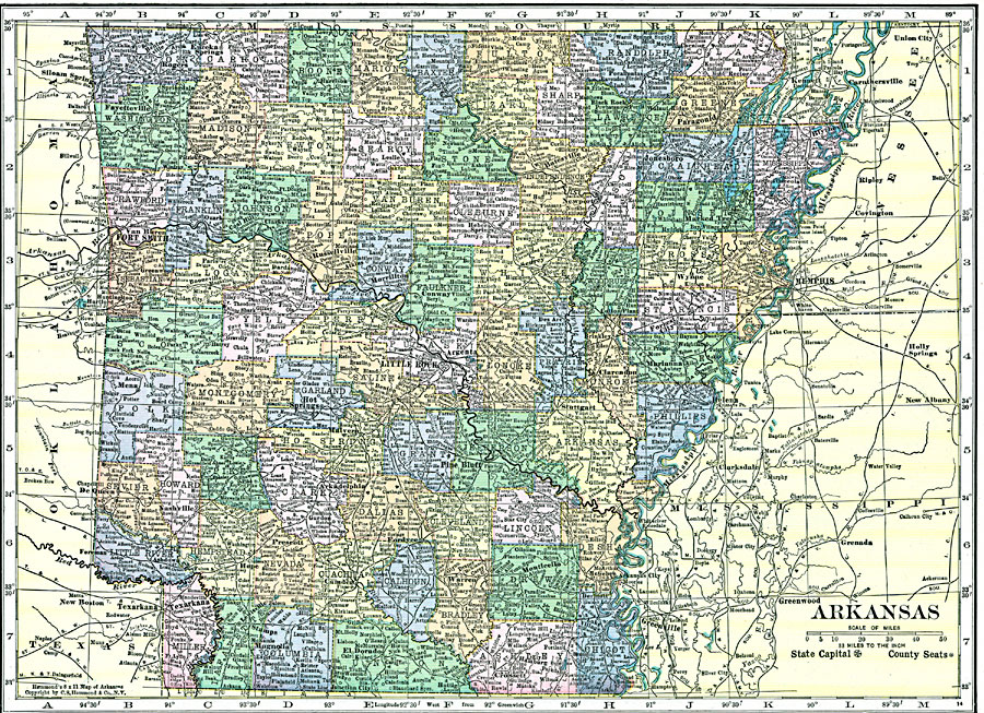
Description: A map of Arkansas from 1920 showing the State capital of Little Rock, counties and county seats, major cities and towns, railroads, mountains, lakes, and rivers.
Place Names: Arkansas, Little Rock, �Fort Smith, �Jonesboro, �Helena, �Texarkana, �Hot Springs, �Benton, �Pine Bluff, �Fayetteville, �Clinto
ISO Topic Categories: boundaries,
location,
inlandWaters
Keywords: Arkansas, physical, �political, physical features, county borders, boundaries,
location,
inlandWaters, Unknown, 1920
Source: , Hammond's Modern Atlas of the World (New York, NY: C. S. Hammond and Company, Inc., 1920) 99
Map Credit: Courtesy the private collection of Roy Winkelman |
|