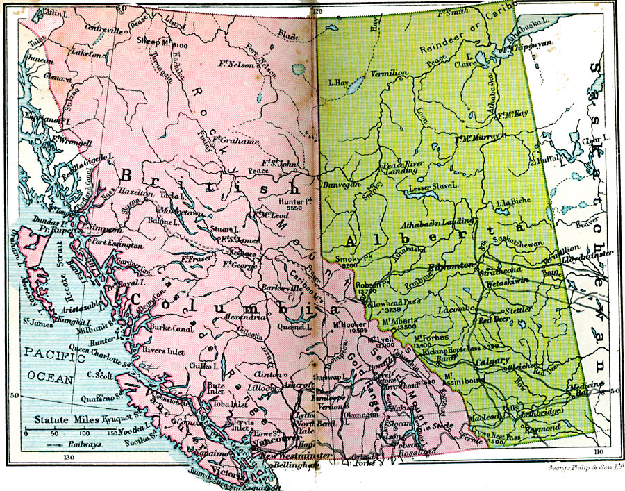
Description: A map from 1920 of the provinces of Alberta and British Columbia showing the province capitals of Edmonton and Victoria, major cities and towns, railways, the Inland Passage from Vancouver, lakes and rivers, coastal features, and islands in the area.
Place Names: Canada, British Columbia, �Alberta, �Edmonton, �Calgary, �Lethbridge, �Clinton, �Centreville, �Alexandria, �Victori
ISO Topic Categories: boundaries,
inlandWaters,
location,
oceans,
transportation
Keywords: British Columbia and Alberta, physical, �political, �transportation, physical features, country borders,
major political subdivisions, railroads, boundaries,
inlandWaters,
location,
oceans,
transportation, Unknown, 1920
Source: , Asprey's Atlas of the World (London, England: Asprey and Co., Ltd., 1920) 130
Map Credit: Courtesy the private collection of Roy Winkelman |
|
