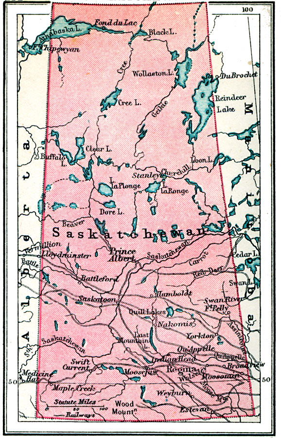
Description: A map from 1920 of the province of Saskatchewan, showing the provincial capital of Regina, major cities and towns, railways, terrain features, lakes, and rivers.
Place Names: Canada, Prince Albert, �Fond du Lac, �Hamboldt, �Lloydminster, �Battleford, �Saskatoon, �Weyburn, �Esteva
ISO Topic Categories: boundaries,
inlandWaters,
location,
transportation
Keywords: Saskatchewan, physical, �political, �transportation, physical features, country borders,
major political subdivisions, railroads, boundaries,
inlandWaters,
location,
transportation, Unknown, 1920
Source: , Asprey's Atlas of the World (London, England: Asprey and Co., Ltd., 1920) 131
Map Credit: Courtesy the private collection of Roy Winkelman |
|