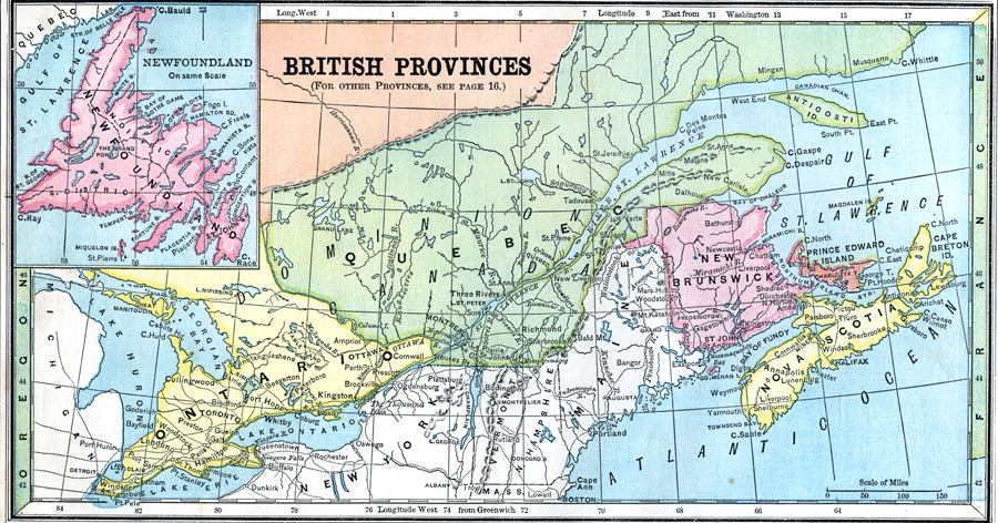
Description: A map from 1872 of the eastern British provinces in Canada at the time. The map shows the eastern portion of Ontario, southern portion of Quebec, New Brunswick, Prince Edward Island, Nova Scotia, and an inset map of Newfoundland. The map shows major cities and ports, political boundaries at the time, lakes, rivers, and coastal features of the region.
Place Names: Canada, Quebec, �Ontario, �New Brunswick, �Nova Scotia, �Prince Edward Island, �Newfoundland,
ISO Topic Categories: boundaries,
location,
inlandWaters,
oceans
Keywords: British Provinces in Eastern Canada, physical, �political, physical features, country borders, boundaries,
location,
inlandWaters,
oceans, Unknown, 1872
Source: James Monteith, Comprehensive Geography (New York, NY: A. S. Barnes and Company, 1872) 20
Map Credit: Courtesy the private collection of Roy Winkelman |
|