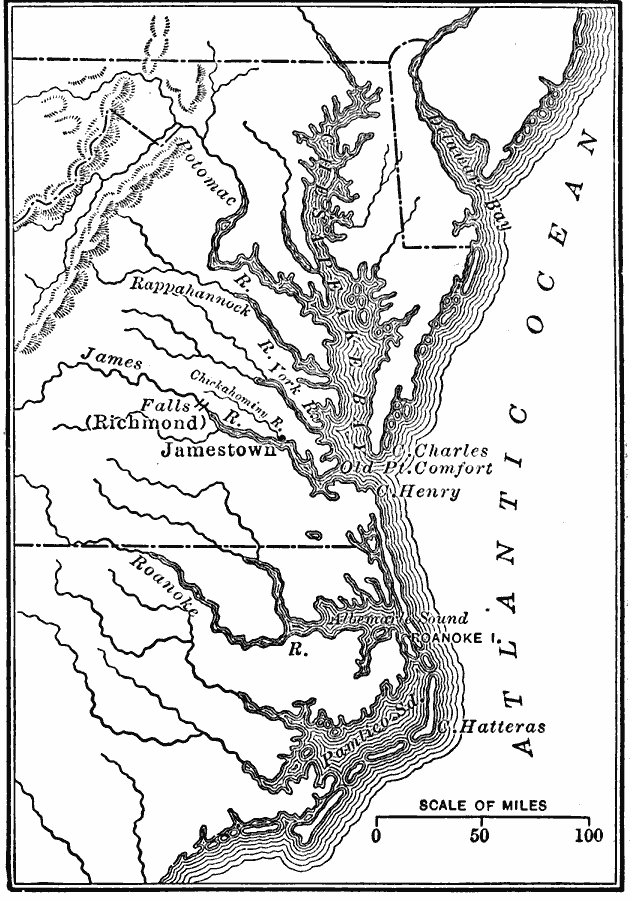
Description: A map of the Chesapeake Bay and Pamlico Sound region showing the early English settlements of Jamestown and the Falls (Richmond). The map shows rivers and coastal features, and the modern State boundaries of Pennsylvania, Delaware, Maryland Virginia, North Carolina.
Place Names: Early America 1400-1800, Chesapeake, �Jamestown, �Richmond, �Discovery, �Cape Hatteras, �Atlantic Ocea
ISO Topic Categories: oceans,
location,
inlandWaters
Keywords: The Chesapeake Bay Settlements of Jamestown and Richmond, borders, country borders, oceans,
location,
inlandWaters, Unknown, 1607–1611
Source: Gertrude van Duyn Southworth, A First Book in American History (New York, NY: D. Appleton and Co. , 1907) 35
Map Credit: Courtesy the private collection of Roy Winkelman |
|