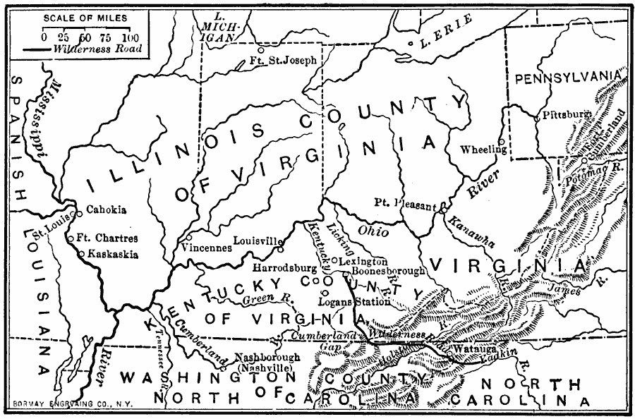
Description: Pioneer settlements on the western frontier.
Place Names: Early America 1400-1800, Illinois, �Kentucky, �North Carolina, �Ohio, �Pennsylvania, �Virginia, �West Virginia, �Western Frontier, �Pioneer Settlement
ISO Topic Categories: oceans,
location,
inlandWaters
Keywords: Pioneer Settlements on the Western Frontier, borders, �political, �historical, country borders, historical event, oceans,
location,
inlandWaters, Unknown, 1700s
Source: Gertrude van Duyn Southworth, A First Book in American History (New York, NY: D. Appleton and Co. , 1907) 222
Map Credit: Courtesy the private collection of Roy Winkelman |
|