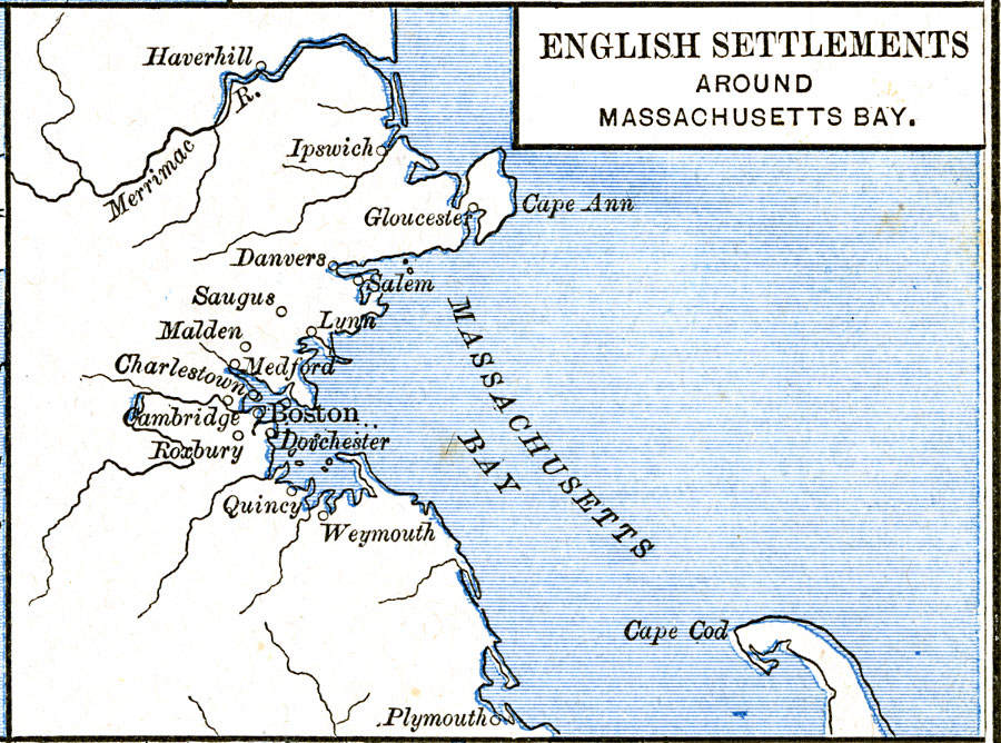
Description: A map of Massachusetts Bay showing the early English settlements from Plymouth to Haverhill on the Merrimac River.
Place Names: Massachusetts, Boston, �Cambridge, �Cape Cod, �Medford, �Lynn, �Plymouth, �Salem, �Worcester,
ISO Topic Categories: oceans,
location,
inlandWaters
Keywords: English Settlements around Massachusetts Bay, borders, oceans,
location,
inlandWaters, Unknown, 1620–1652
Source: Robert H. Labberton, New Historical Atlas and General History (New York, NY: Townsend MacCoun, 1886) Plate LVIII
Map Credit: Courtesy the private collection of Roy Winkelman |
|