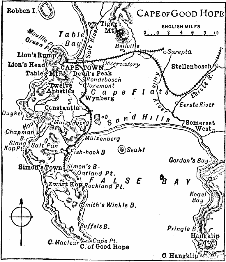
Description: A map from 1909 detailing the area around Cape Town and the Cape of Good Hope. The map shows the cities and railroads of the cape, and the prominent mountains and coastal features in the area including Tiger Mountain, Devils Peak, Twelve Apostles, Hangklip Mountain, False Bay, Fish–hook Bay, Table Bay, and Cape of Good Hope. Robben Island, the infamous penal island in Table Bay is shown.
Place Names: South Africa, Cape Town, �Stellenbosch, �Simon's Town, �Constanti
ISO Topic Categories: transportation,
inlandWaters,
location,
oceans
Keywords: Cape of Good Hope, physical, �transportation, physical features, railroads, transportation,
inlandWaters,
location,
oceans, Unknown, 1909
Source: Chandler B. Beach, A.M., The New Student's Reference Work for Teachers Students and Families Vol 1 (Chicago, IL: F. E. Compton and Company, 1909) 330
Map Credit: Courtesy the private collection of Roy Winkelman |
|