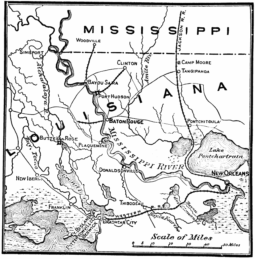
Description: A map of the vicinity of New Orleans showing operations in Louisiana during the American Civil War, from February to July, 1863. The map covers the area from New Orleans west to New Iberia and north to the Mississippi State Line, showing Baton Rouge and neighboring cities and towns, major roads and railroads, lakes, and rivers in the area.
Place Names: Civil War, New Orleans, �Mississippi, �Baton Rouge, �Clinto
ISO Topic Categories: boundaries,
oceans,
inlandWaters,
location,
transportation,
intelligenceMilitary
Keywords: Operation in Louisiana, physical, �transportation, �historical, physical features, railroads,
roads, Civil War, boundaries,
oceans,
inlandWaters,
location,
transportation,
intelligenceMilitary, Unknown, 1863
Source: E. Benjamin Andrews, History of the United States Vol IV (New York, NY: Charles Scribner's Sons, 1895) 44
Map Credit: Courtesy the private collection of Roy Winkelman |
|
