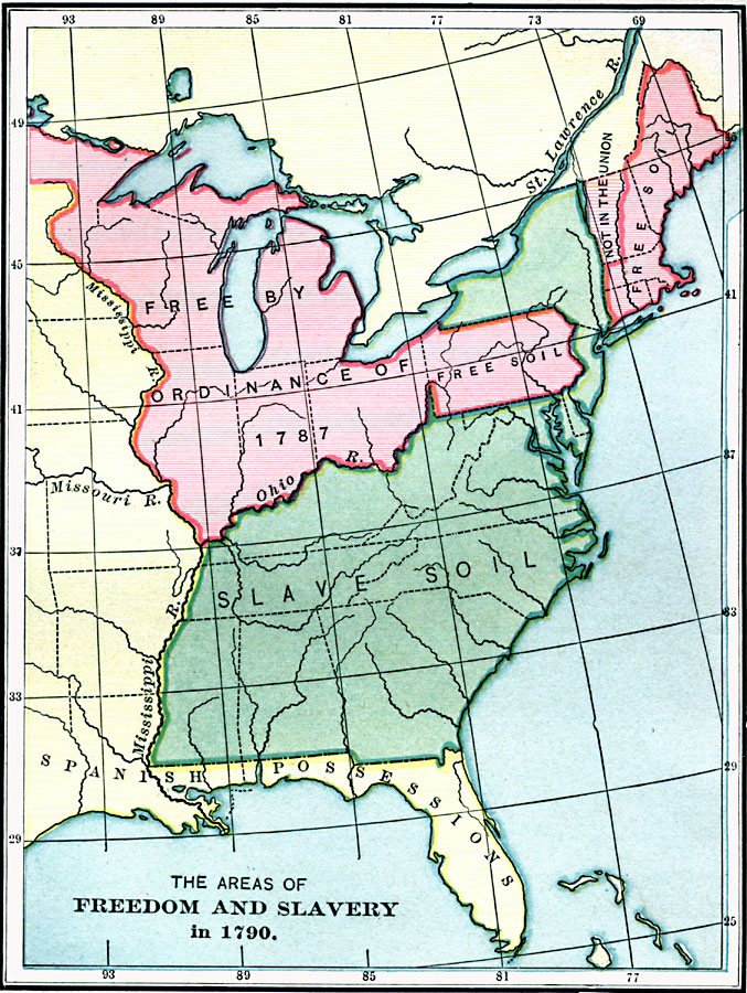
Description: A map of the United States and territories east of the Mississippi River in 1790, showing the areas of freedom and slavery at the time, including the territory of the Northwest, free by the Ordinance of 1787.
Place Names: Early America 1400-1800, Colonial Americ
ISO Topic Categories: boundaries,
inlandWaters,
location,
oceans
Keywords: Freedom and Slavery in the Early United States, physical, �political, physical features, major political subdivisions, boundaries,
inlandWaters,
location,
oceans, Unknown, 1790
Source: Charles Kendall Adams, A History of the United States (Boston, MA: Allyn and Bacon, 1909) 196
Map Credit: Courtesy the private collection of Roy Winkelman |
|