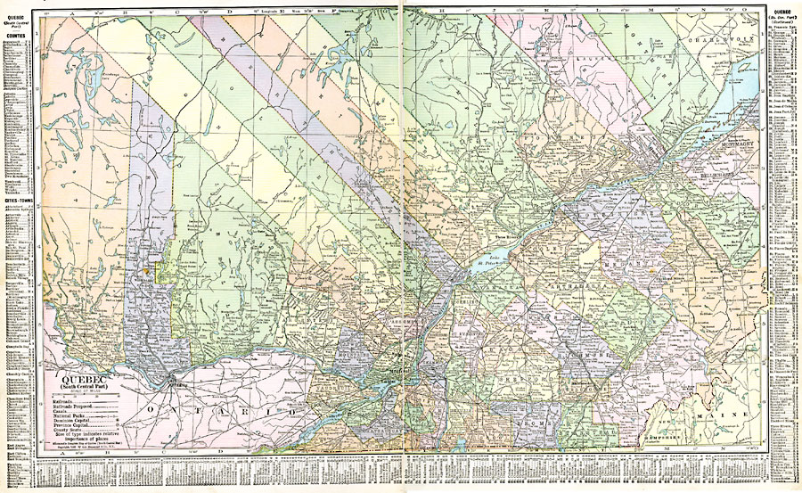
Description: A map from 1920 of the south–central part of the province of Quebec, showing county boundaries and county seats, the Dominion capital of Ottawa, Province capital of Quebec City, major cities, towns, and ports, existing and proposed railways, canals, provincial park boundaries, lakes, rivers, and coastal features of the province. A grid–key in the margins references the locations of principal cities and towns, and the counties and divisions of this portion of Quebec.
Place Names: Canada, Montreal, �Quebe
ISO Topic Categories: oceans,
location,
inlandWaters
Keywords: Quebec Province (South Central Part), borders, �political, �transportation, country borders,
county borders, railroads, oceans,
location,
inlandWaters, Unknown, 1920
Source: , The New Reference Atlas of the World - A New Series of Physical, Political and Historical Maps compiled from Government Surveys and exhibiting the Latest Results of Geographical Research (New York, NY: C. S. Hammond & Company, 1920) 6-7
Map Credit: Courtesy the private collection of Roy Winkelman |
|