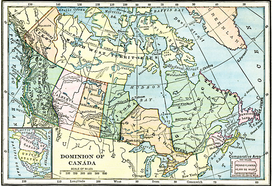
Description: A map from 1906 of the Dominion of Canada showing the boundaries of the provinces and territories, provincial capitals and major cities, lakes, rivers, coastal features, and islands of the region. An inset map shows the entire North American continent to indicate the relative location of the Dominion of Canada, and an outline map of Pennsylvania at the same map scale shows comparative area size.
Place Names: Canada, Montreal, �Ottawa, �Toronto, �Quebec, �Winnipeg, �Vancouver, �Victoria, �Calgary, �Edmonto
ISO Topic Categories: boundaries,
location,
oceans,
inlandWaters
Keywords: The Dominion of Canada, physical, �political, kComparativeArea, physical features, county borders, boundaries,
location,
oceans,
inlandWaters, Unknown, 1906
Source: Alexis Everett Frye, Frye's First Steps in Geography (Boston, MA: Ginn and Company, 1906) 69
Map Credit: Courtesy the private collection of Roy Winkelman |
|