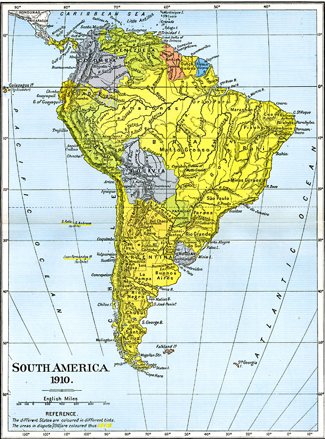
Description: A map of South America in 1910 showing the political boundaries of the time. The map is color–coded to distinguish between states, and shows the territorial dispute along the Columbian and Ecuadorian frontier in 1910. The map shows capitals, major cities, ports, rivers, terrain and coastal features.
Place Names: A Complete Map of South America, Argentina, �Bolivia, �Brazil, �Chile, �Columbia, �Ecuador, �Paraguay, �Peru, �Uruguay, �Venezuel
ISO Topic Categories: oceans,
location,
inlandWaters,
boundaries
Keywords: South America, political, country borders,
local jurisdictions,
major political subdivisions, oceans,
location,
inlandWaters,
boundaries, Unknown, 1910
Source: Ward, Prothero, and Leathes, The Cambridge Modern History Atlas (New York, NY: The Macmillan Company, 1912)
Map Credit: Courtesy the private collection of Roy Winkelman |
|