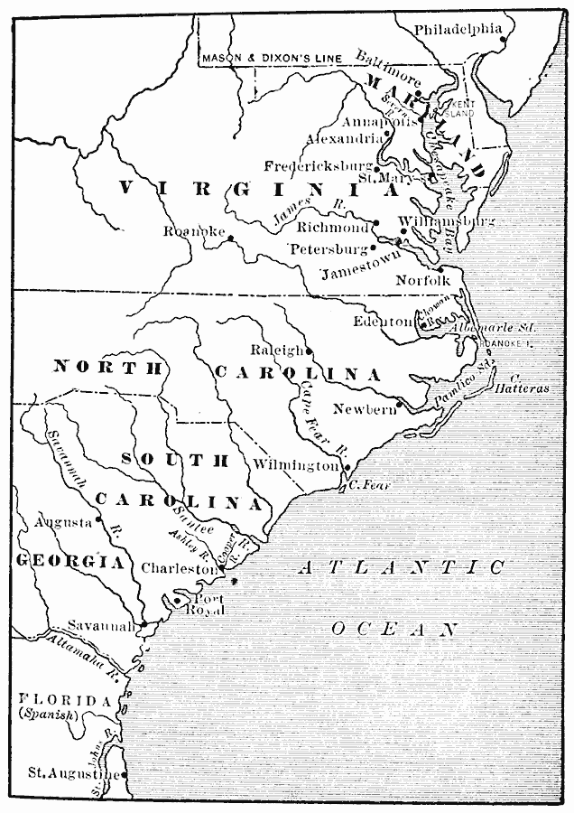
Description: A map of the Southern Colonies showing the current boundaries of Maryland, Delaware, Virginia, North Carolina, South Carolina, and Georgia, showing early European settlements.
Place Names: Early America 1400-1800, Georgia, �Maryland, �North Carolina, �South Carolina, �Virginia, �Colonial America, �Spanis
ISO Topic Categories: oceans,
location,
inlandWaters
Keywords: The Southern Colonies, physical, country borders,
local jurisdictions, oceans,
location,
inlandWaters, Unknown, 1606
Source: Jacques W. Redway, F.R.G.S., The Redway School History (New York, NY: Silver, Burdett and Company, 1911) 39
Map Credit: Courtesy the private collection of Roy Winkelman |
|