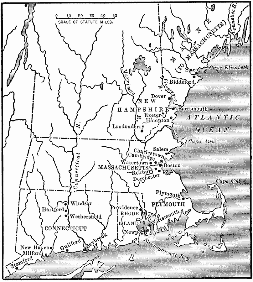
Description: A map of the New England Colonies of Maine (to Massachusetts), New Hampshire, Massachusetts, Rhode Island, and Connecticut in the 1600's, showing early settlements.
Place Names: Early America 1400-1800, Boston, �Connecticut, �Massachusetts, �New Hampshire, �Rhode Island, �Colonial Americ
ISO Topic Categories: oceans,
location,
inlandWaters
Keywords: The New England Colonies, physical, local jurisdictions, oceans,
location,
inlandWaters, Unknown, 1600s
Source: Jacques W. Redway, F.R.G.S., The Redway School History (New York, NY: Silver, Burdett and Company, 1911) 66
Map Credit: Courtesy the private collection of Roy Winkelman |
|