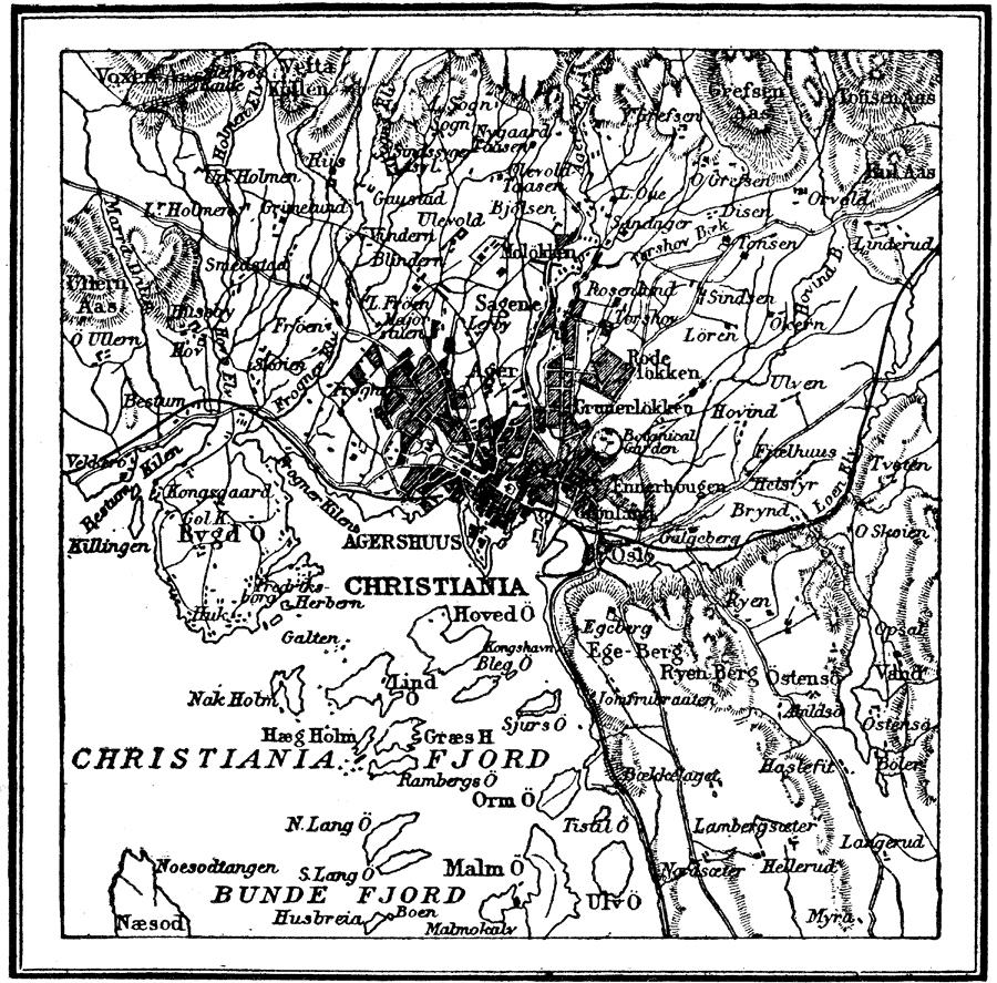
Description: A map of Christiania (former name of Oslo), Norway, and vicinity in 1914. This map shows Christiania Fjord and islands, neighboring cities and towns, railways, major roads, rivers, coastal features, and terrain of the area.
Place Names: Norway, Christiania, �Christiania Fjord, �Bunde Fjord, �Agershuus,
ISO Topic Categories: transportation,
inlandWaters
Keywords: Christiania, Norway, physical, �transportation, physical features, transportation,
inlandWaters, Unknown, 1914
Source: , The New Encyclopedic Atlas and Gazetteer of the World (New York, New York: P. F. Collier and Son, 1914) 161
Map Credit: Courtesy the private collection of Roy Winkelman |
|