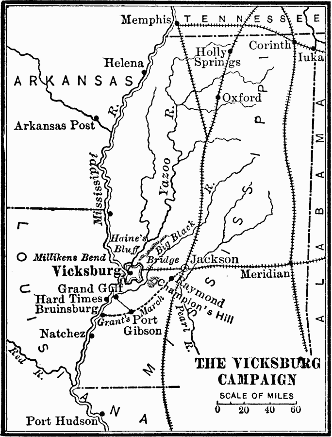
Description: A map of the vicinity of Vicksburg ob the Mississippi River during the American Civil War showing the fortifications and siege line around Vicksburg, the strategic railroads in the area linking the port on the Mississippi, and the route of General Grant south of the city to Jackson, then on to Vicksburg.
Place Names: Civil War, Memphis, �Helena, �Jackson, �Meridian, �Vicksbur
ISO Topic Categories: boundaries,
intelligenceMilitary,
inlandWaters,
location,
transportation
Keywords: The Vicksburg Campaign, physical, �political, �transportation, �historical, physical features, major political subdivisions, railroads, Civil War, boundaries,
intelligenceMilitary,
inlandWaters,
location,
transportation, Unknown, 1863
Source: Charles Kendall Adams, A History of the United States (Boston, MA: Allyn and Bacon, 1909) 410
Map Credit: Courtesy the private collection of Roy Winkelman |
|