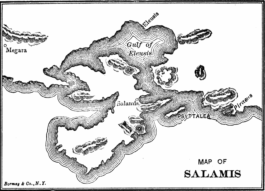
Description: A map of the region around the island of Salamis, site of the naval battle between the Greeks and Xerxes I of Persia during the Second Persian Invasion (480 BC), whose victory by the Greeks resulted in Xerxes retreating back to Persia.
Place Names: Greece, Salamis, �Megara, �Eleasi
ISO Topic Categories: oceans,
location
Keywords: Map of Salamis, physical, kAncientGreece, physical features, oceans,
location, Unknown, 480 BC
Source: George Willis Botsford, Ph. D., A History of Greece (London, : The Macmillan Company, 1912) 132
Map Credit: Courtesy the private collection of Roy Winkelman |
|