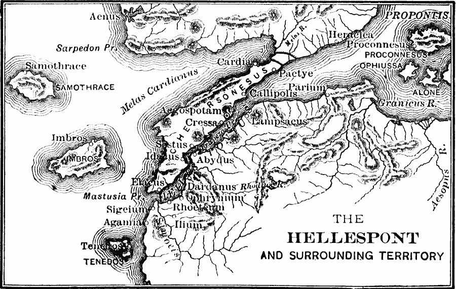
Description: A map of the Hellespont (Dardanelles) between the Aegean Sea and Propontis (Bosporus), during the Peloponnesian War (405 BC), showing several important sites such as Troy (Ilium) and Abydos, where Xerxes I built two bridges to allow his army to invade Greece (482 BC).
Place Names: Greece, Ilium, �Cressa, �Abydus, �Pactye, �Parium, �Lampascus, �Aenus, �Samothrac
ISO Topic Categories: intelligenceMilitary,
inlandWaters,
oceans,
location
Keywords: Map of the Hellespont, physical, �political, �historical, �peloponnesian war, kAncientGreece, physical features, local jurisdictions, other military, intelligenceMilitary,
inlandWaters,
oceans,
location, Unknown, 405 BC
Source: George Willis Botsford, Ph. D., A History of Greece (London, : The Macmillan Company, 1912) 236
Map Credit: Courtesy the private collection of Roy Winkelman |
|