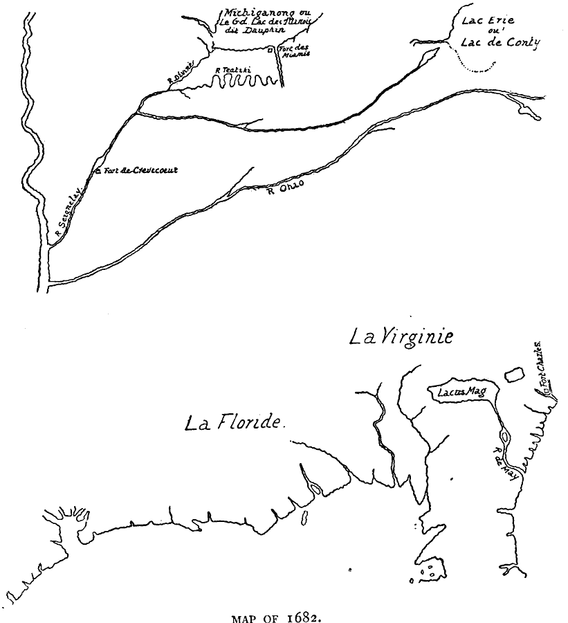
Description: A facsimile of a map by Jean Baptiste Louis Franquelin (1682) of the Mississippi River Valley from the Great Lakes to the Gulf of Mexico showing the explorations of Robert LaSalle (René–Robert Cavelier, Sieur de la Salle) as far south as the confluence of the Ohio and Mississippi rivers. This map shows Fort Miami on the Miami River (St. Joseph River) and Fort de Crevecoeur on the Rivé Seignelay (Illinois River).
Place Names: Early America 1400-1800, Mississippi Rive
ISO Topic Categories: oceans,
location,
inlandWaters
Keywords: Mississippi Valley, physical, kEarlyMapsFacsimile, oceans,
location,
inlandWaters, Unknown, 1682
Source: Justin Winsor, Narrative and Critical History of America (vol. 4) (Boston, MA: Houghton, Mifflin, and Company, 1884) 227
Map Credit: Courtesy the private collection of Roy Winkelman |
|
