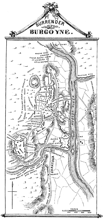
Description: A map of the vicinity of Saratoga, New York, at the time of Burgoyne's surrender (October 17, 1777) to the American forces under General Gates. The map shows the Hudson River and surrounding terrain, roads, farmlands and woodlands, the ruins of Fort Hardy, artillery positions, fortifications, and military positions and headquarters during the battles of Saratoga.
Place Names: Early America 1400-1800, Hudson River, �Saratoga, ��American Revolutio
ISO Topic Categories: inlandWaters,
location
Keywords: Surrender of Burgoyne, physical, �historical, kAmericanRevolution, kBattle, physical features, American Revolution, inlandWaters,
location, Unknown, 1777
Source: Benson J. Lossing, Pictorial Field-Book of the Revolution Vol. I (New York, NY: Harper and Brothers, 1851) 77
Map Credit: Courtesy the private collection of Roy Winkelman |
|
