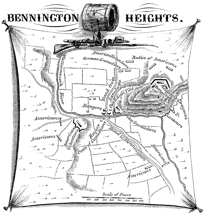
Description: A map of the area around Walloomsac, New York, near Bennington, Vermont, showing the site of the Battle of Bennington Heights (August 16, 1777) between the British under Friedrich Baum and the American militiamen under General John Stark and Colonel Seth Warner. The map shows the British and American positions, the roads to Saratoga and Bennington, the Wallomscoik River, and the British held heights.
Place Names: Early America 1400-1800, Saratoga, �Bennington, �Walloomscoik River, ��American Revolutio
ISO Topic Categories: inlandWaters,
location
Keywords: Bennington Heights, physical, �historical, kAmericanRevolution, kBattle, physical features, American Revolution, inlandWaters,
location, Unknown, 1777
Source: Benson J. Lossing, Pictorial Field-Book of the Revolution Vol. I (New York, NY: Harper and Brothers, 1851) 395
Map Credit: Courtesy the private collection of Roy Winkelman |
|