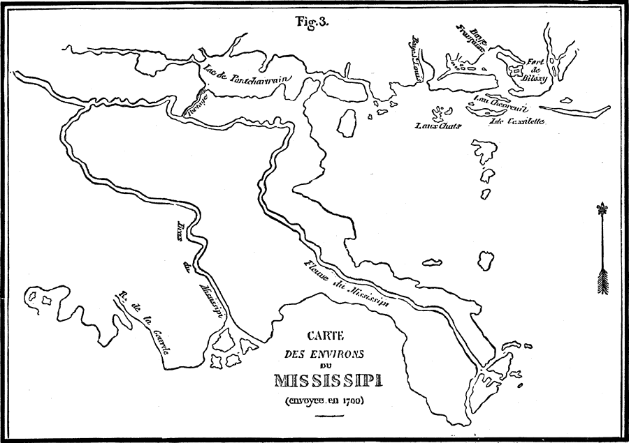
Description: A facsimile of a map of the Mississippi Delta showing the explorations of the French Canadian Pierre Le Moyne d'Iberville in 1700. The map shows Lake Pontchartrain, Fort Biloxi, and the channels of the Mississippi River.
Place Names: Early America 1400-1800, Mississippi River,�Fleuve du Mississipi, �R. de la Gourde, �American Revolutio
ISO Topic Categories: inlandWaters
Keywords: Carte Des Environs du Mississippi, physical, kEarlyMapsFacsimile, physical features, inlandWaters, Unknown, 1700
Source: Justin Winsor, Narrative and Critical History of America Volume V (Boston, MA: Houghton, Mifflin and Company, 1887) 22
Map Credit: Courtesy the private collection of Roy Winkelman |
|
