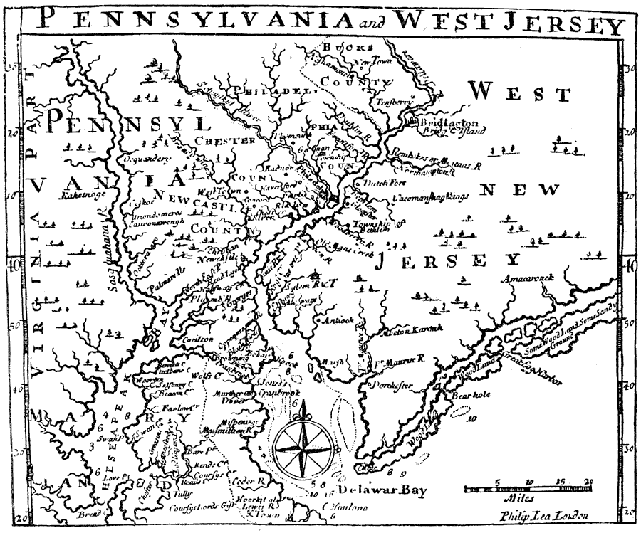
Description: A facsimile of Gabriel Thomas's map (1698) of eastern Pennsylvania and West New Jersey, showing the Delaware Bay and Delaware River to Bucks County, the northern reach of the Chesapeake Bay, Philadelphia, and early settlements in the area.
Place Names: Early America 1400-1800, Pennsylvania, �West new Jersey, �Delawar Bay, �Cheseapeak Bay, �Philadelphia, �Virginia, �Maryland, �Newcastle, �Colonial Americ
ISO Topic Categories: location,
inlandWaters
Keywords: Pennsylvania and West Jersey, physical, physical features, location,
inlandWaters, Unknown, 1698
Source: Justin Winsor, Narrative and Critical History of America Vol. III (Boston, MA: Houghton, Mifflin and Company, 1884) 501
Map Credit: Courtesy the private collection of Roy Winkelman |
|