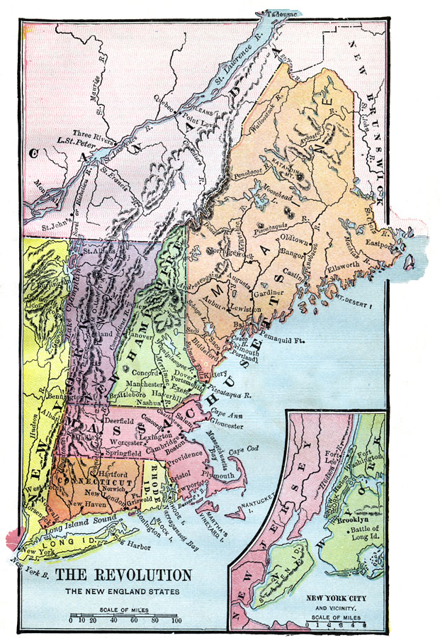
Description: A map of America's New England states during the time of the American Revolution, including Maine, New Hampshire (with Vermont), Massachusetts, Rhode Island, Connecticut, and Long Island. The map shows major cities, towns, forts, battle sites, mountain systems, rivers, and coastal features of the region. An inset map details the vicinity of New York City.
Place Names: Early America 1400-1800, Connecticut, �Maine, �Massachusetts, �New Hampshire, �New York, �Rhode Island, �American Revolutio
ISO Topic Categories: oceans,
location,
inlandWaters
Keywords: The Revolution in the New England States, borders, �physical, �historical, kAmericanRevolution, American Revolution, oceans,
location,
inlandWaters, Unknown, 1774–1783
Source: D.H. Montgomery, The Leading Facts of American History (Boston, MA: Ginn & Company, 1895)
Map Credit: Courtesy the private collection of Roy Winkelman |
|