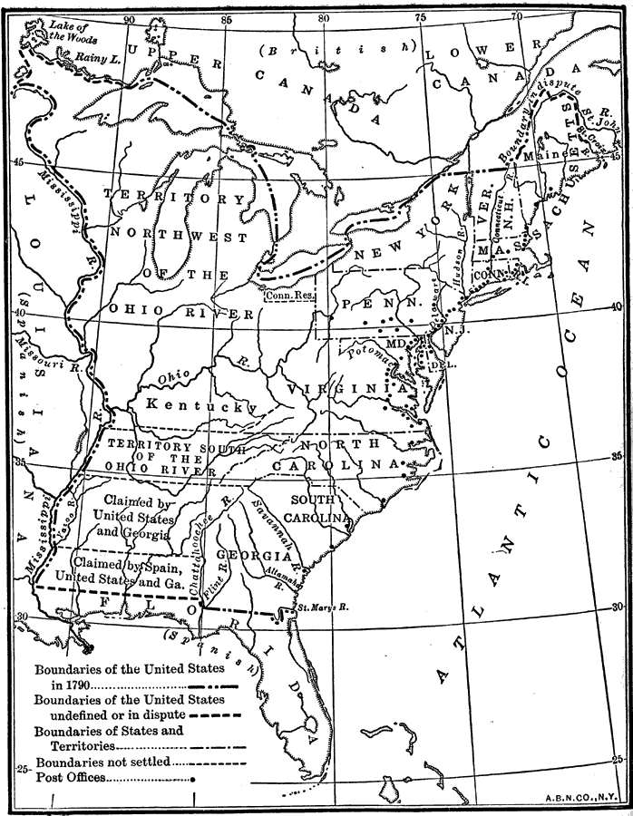
Description: A map of the early United States in 1790 showing the boundary established west to the Mississippi River, and is keyed to show undefined or disputed boundaries, boundaries of States and territories, and boundaries not settled. The map shows the Spanish possessions west of the Mississippi River and Florida, and the British territories of Upper and Lower Canada. Post offices in the United States at the time are shown.
Place Names: Early America 1400-1800, Connecticut, �Delaware, �Florida, �Georgia, �Kentucky, �Maine, �Maryland, �Massachusetts, �New Hampshire, �New York, �North Carolina, �South Carolina, �Vermont, �Virgini
ISO Topic Categories: location,
inlandWaters,
oceans,
boundaries
Keywords: The United States, historical, �location, �physical, �political, �postal service, �boundaries, �disputed boundaries, physical features, major political subdivisions, historical event, location,
inlandWaters,
oceans,
boundaries, Unknown, 1790
Source: Nathaniel Wright Stephenson, An American History (Boston, MA: Ginn and Company, 1913) 252
Map Credit: Courtesy the private collection of Roy Winkelman |
|
