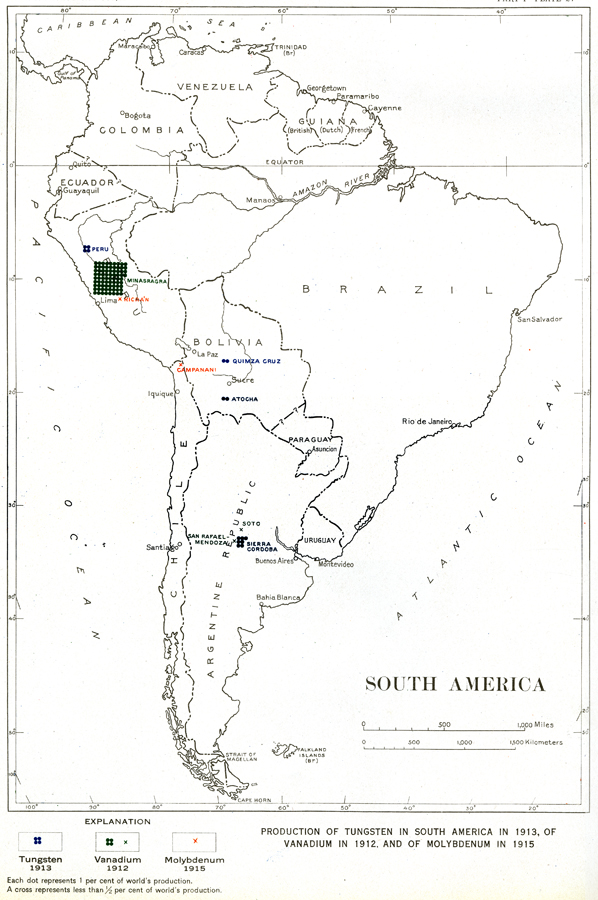
Description: "Production of Tungsten in South America in 1913, of Vanadium in 1912, and of Molybdenum in 1915... Each dot represents 1 per cent of world's production. A cross represents less than 1/2 per cent of world's production." — Department of the Interior, 1921
Place Names: A Complete Map of South America, Argentina, �Bolivia, �Brazil, �Chile, �Columbia, �Ecuador, �Paraguay, �Peru, �Uruguay, �Venezuel
ISO Topic Categories: boundaries,
economy,
inlandWaters,
oceans
Keywords: South American Production of Tungsten, Vanadium, and Molybdenum, physical, �political, �statistical, physical features,
geological, country borders, industry,
economic, boundaries,
economy,
inlandWaters,
oceans, Unknown, 1912–1915
Source: Department of the Interior , World Atlas of Commercial Geology (Washington, DC: Department of the Interior , 1921) Plate 27
Map Credit: Courtesy the private collection of Roy Winkelman |
|