Maps Site map
  Maps > Africa > A Complete Map of Africa
Site Map  

  Record   21   to   30  of   86

Historic and contemporary maps of Africa, including political and physical maps, pre-colonial and colonial maps, climate maps, relief maps, population density and distribution maps, vegetation maps, and economic/resource maps.
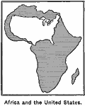
Comparative size of Africa and the United States, 1899
Map illustrates the size of Africa by superimposing the United States over it....

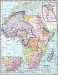
Colonial Africa, 1899
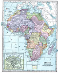
Map of Africa in 1899 showing the colonial possessions of European powers on the continent established at the Berlin Conference of 1885. This map shows major cities and trade centers, railroad routes and canals, major river systems, and sub–bas...

Political and Physical Africa, 1901
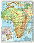
A map from 1901 of the political and physical features of Africa. The map uses color–contouring to show highlands above 2000 feet in buff tints, lowlands in greens, and the submerged part of the continental plateau in light blue. The map shows ...

Africa, 1901
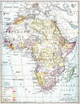
A map from 1901 of Africa showing political boundaries and capitals, principal cities and towns, mountain systems, rivers, lakes, and coastal features. The map is color–coded to show the European possessions of the British, French, Germans, Tur...

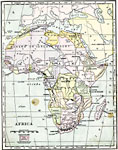
Geopolitical Map of Africa, 1902
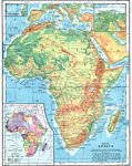
A physical map of the African continent showing general elevations color coded as highlands above 2,000 feet in buff tints, lowlands in green tints, and the offshore continental shelf in light blue. Major rivers, lakes, mountains, and other landforms...

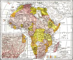
Colonial Africa, 1902
A map of Africa in 1902 showing the European colonial possessions established at the Berlin Conference in 1885, and the Turkish or Ottoman possession of Tripoli. This map shows major cities, rivers, and mountain systems, canals and head of navigation...

Colonial Africa, 1903
A political map of Africa, as it was in 1903, showing European land claims after the Berlin Conference in 1885. The lack of natural boundaries, that is, boundaries along rivers, mountains, or native lands, shows the European system of arbitrary bound...

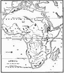
Landforms of Africa, 1904
A map from 1904 of Africa and Madagascar showing the principal mountain, lake, and river systems. Mountain chains are shown with heavy black lines....

Colonial Africa, 1904
A map of Africa shortly after the Berlin Conference of 1885, which established the European colonial territory claims on the continent. These European and independent boundaries include Algeria and the Saharan Sphere of French Influence, Tripoli, Egy...

Africa, 1904
"Africa – Second only to Asia in point of size, the continent of Africa, including the islands contiguous to its shore, has an area of 11,854,000 square miles, yet is the least important of all the great divisions of the globe, judged by t...

First Previous Next Last


  Maps > Africa > A Complete Map of Africa
Site Map  

Maps ETC is a part of the Educational Technology Clearinghouse
Produced by the Florida Center for Instructional Technology © 2009
College of Education, University of South Florida