|
|
|
| Maps > Africa > A Complete Map of Africa |
Historic and contemporary maps of Africa, including political and physical maps, pre-colonial and colonial maps, climate maps, relief maps, population density and distribution maps, vegetation maps, and economic/resource maps.
|
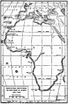
Portuguese Discoveries in Africa,
1340–1498 |
|
Pre-Colonial Africa,
17th and 18th Centuries |
|
Pre-Colonial Africa,
1858 |
|
Pre-Colonial Africa,
1870 |
|
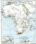
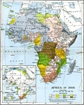
The Colonization of Africa,
1870–1910 |
|
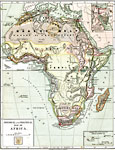
Pre-Colonial Africa,
1872 |
|
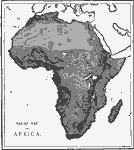
Relief Map of Africa,
1872 |
|
Native Territories and European Possessions in Africa,
1876 |
|
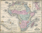
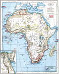
Physical and Political Map of Africa,
1879 |
|
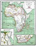
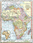
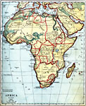
Africa before the Berlin Conference,
1882 |
| Next | Last |
| Maps > Africa > A Complete Map of Africa |
Maps ETC is a part of the Educational Technology Clearinghouse
Produced by the Florida Center for Instructional Technology © 2009
College of Education, University of South Florida