Maps Site map
  Maps > Europe > France
Site Map  

  Record   61   to   70  of   83

Historic and contemporary maps of France, including political and physical maps, early empires, WWI, city plans, and battle plans.
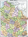
France Plate I, 1920
First in a series of maps of France from the 1920 Asprey's Atlas of the World, showing eastern France. This map is color–coded to show the Departments of the region, major cities and towns, primary railways, canals, rivers, terrain, and histori...

France Plate II, 1920
Second in a series of maps of France from the 1920 Asprey's Atlas of the World, showing northern and northwestern France. This map is color–coded to show the Departments of the region, major cities and towns, primary railways, canals, rivers, c...

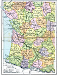
France Plate III, 1920
Third in a series of maps of France from the 1920 Asprey's Atlas of the World, showing southwestern France. This map is color–coded to show the Departments of the region, major cities and towns, primary railways, canals, rivers, coastal feature...

France Plate IV, 1920
Fourth in a series of maps of France from the 1920 Asprey's Atlas of the World, showing southeastern France and the Mediterranean Coast. This map is color–coded to show the Departments of the region, major cities and towns, primary railways, ca...

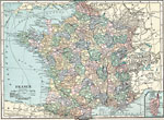
France, 1920
A map of France in 1920, showing major cities and towns, rivers, railroads, canals, submarine cables, and important tramways. This map is color–coded to show the administrative Departments of France with their capitals circled. An inset map sho...

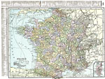
France, 1920
A map of France in 1920, showing major cities and towns, rivers, railroads, canals, submarine cables, and important tramways. This map is color–coded to show the administrative Departments of France with their capitals circled. The map has a re...

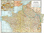
Northern France, 1920
A map of France, showing the furthest advance by the Germans in World War One, the battle line at the time of the armistice, and an inset map of Paris. ...

France and Germania during the Roman Period, 44 B.C to A.D. 410
Map of France and Germania under the Roman Empire. Roman names are in Latin, with modern names in parentheses. Shows major cities of the time, major river ways, topography, oceans. The scale is shown in both English and Roman Miles. ...

France at the Accession of the Capetian Dynasty, A.D. 987
Map of France at the Accession of the Capetian Dynasty in AD 987, and is color–coded to illustrate the Royal Domain of the Capetians. This map also shows Flanders, Normandy, Bretagne, Bourgogne, Aquitaine, Gascogne, and Toulouse. Major rivers a...

Northern France, Southern England during the Saxon-Norman Period, AD 450 to 1400
Map of Northern France, Southern England during the Saxon–Norman Period. Shows major cities of the time, major river ways, topography, political boundaries. Scale in English miles. ...

First Previous Next Last


  Maps > Europe > France
Site Map  

Maps ETC is a part of the Educational Technology Clearinghouse
Produced by the Florida Center for Instructional Technology © 2009
College of Education, University of South Florida