|
|
|
| Maps > Europe > Greece |
Historic and contemporary maps of Greece and Hellas, including political and physical maps, early empires, city plans, and battle plans.
|
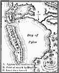
Bay of Pylos,
425 BC |
|
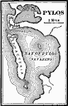
Pylos,
425 BC |
|
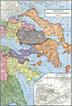
Central Greece and Athens,
431 BC to AD 125 |
|
Greece in the Peloponnesian War,
431–404 BC |
|
Eastern Part of Hellas and Peloponnesus,
444 BC |
|
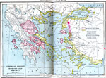
Athenian Empire - Its Greatest Extent,
450 B.C. |
|
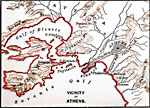
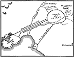
Vicinity of Athens,
450 BCE |
|
Athens and the Long Walls,
459–431 BC |
|
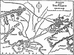
Athens and the Piraeus,
459–431 BC |
|
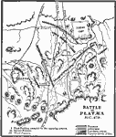
Platæa,
479 BC |
| First | Previous | Next | Last |
| Maps > Europe > Greece |
Maps ETC is a part of the Educational Technology Clearinghouse
Produced by the Florida Center for Instructional Technology © 2009
College of Education, University of South Florida