|
|
|
| Maps > Europe > Regional Maps >Western and Central Europe |
Regional European maps of the Western and Central Europe region from the Maps ETC collection. This includes physical and political maps, early history and empires, WWI maps, climate maps, relief maps, vegetation maps, population density and distribution maps, cultural maps, and economic/resource maps.
|
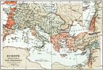
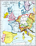
Europe during the time of The Crusades,
1095–1291 |
|
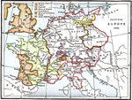
Western and Central Europe at the end of the Edwardian War,
1360 |
|
Western Europe,
1400 |
|
Western and Central Europe,
1517–1560 |
|
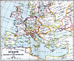
Europe at the Beginning of the Reformation,
1519 |
|
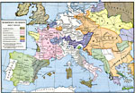
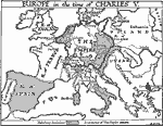
Europe in the Time of Charles V,
1519–1556 |
|
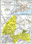
Southern Germany and England,
1524–1636 |
|
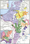
The Rhine Countries,
1543 |
|
Western Europe at the Accession of Elizabeth,
1558 |
|
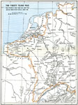
The Thirty Years War,
1620–1648 |
| Next | Last |
| Maps > Europe > Regional Maps >Western and Central Europe |
Maps
is a part of the
Educational Technology Clearinghouse
Produced by the
Florida Center for Instructional Technology
© 2009
College of Education
,
University of South Florida